17 April 2026 - Kalani Foster
Technology, boundary-making, and the myth that ‘carbon is carbon’
New technologies are encouraging carbon to be viewed as an abstract unit, separated from social and ecological context.
I was struck by REPAiR’s think piece on what they call the myth that ‘carbon is carbon’. In global carbon markets, I see this pervasive myth as being reliant on the idea that carbon schemes all operate on a level playing field. If this were the case, then carbon could be detached from the diverse geographic, social, and political contexts that different carbon credit schemes exist in.
Earlier this year, as part of my PhD fieldwork in northern Kenya I interviewed various people who use EarthRanger, a conservation software and data platform that collects, aggregates, and displays data from many sources, including camera traps, vehicle trackers and animal collars. It was not until I began my fieldwork that my interviews focused on how conservation managers use EarthRanger for conservation and in monitoring carbon landscapes simultaneously. The case of EarthRanger suggests how the use of particular technologies in practice can inadvertently build on and reinforce carbon myths.
Boundary-making and carbon credit ‘pillars of integrity’
When carbon is portrayed as an abstract unit that can be objectively measured and compared, assumptions are needed to translate complex socio-ecosystems into units. However, this simplification becomes dangerous.
Quantifying carbon in this manner hides the complexity of socio-ecological conditions on the ground, and gives the impression that carbon emissions can be managed through simple and standardised solutions. Yet carbon solutions are largely shaped by major players in carbon markets and environmental decision-making processes. As the rules of the game are set, this inevitably produces new sets of ‘winners’ and ‘losers’ in carbon landscapes.
For example, in Kenya, technologies such as satellites and satellite imagery, drones, and GPS trackers and tracking equipment are increasingly being used to monitor the progress of soil carbon sequestration projects. Even though EarthRanger was not initially designed to monitor soil carbon sequestration specifically, the topic of carbon credits and EarthRanger arose frequently in my last fieldwork visit.
One of the primary features of EarthRanger is its ability to create geofences, which are virtual and customisable borders on user organisations’ maps. If tracked subjects — such as lions, elephants, livestock, or even people — come within a certain radius of these boundaries, conservation managers can be alerted through WhatsApp in real-time.
The Northern Kenya Rangelands Carbon Project (NKRCP) is an ambitious project that hopes to sequester soil carbon across 1.9 million hectares over thirty years through planned, rotational grazing in pastoral rangelands. Working with 22 community conservancies, the NKRCP also hopes to generate funds for local communities, of which over 200,000 community members are pastoralists.
Using EarthRanger, the community conservancies that I interviewed described how they can divide their land into different paddocks, and use geofences to ensure that communities do not graze outside of their demarcated paddock. Ensuring that the grazing management strategies can be correctly attributed to the cattle under the carbon management scheme is a prerequisite for crediting carbon. This is key to ensure aspects of “additionality, leakage, and permanence” – three core ‘integrity pillars’ of carbon credits.
Livestock such as cattle are often collared and tracked through EarthRanger; if pastoralists graze outside of their demarcated paddocks, conservancy managers are alerted and these pastoralists risk forfeiting profits that are generated by selling carbon credits on their land.
What are the risks associated with geofencing for carbon?
Using technology and data platforms to enforce grazing boundaries and check grazing practices in this way treats carbon sequestration as a black-and-white problem. The idea is that carbon is better sequestered in these rangelands if seemingly-harmful and outdated grazing practices can be improved. In reality, this leaves little room to acknowledge the nuances of grazing and daily life.
When platforms such as EarthRanger allow users to enforce strict boundaries, they enforce a rule-based approach to carbon sequestration in which non-compliance becomes perceived as a matter of choice rather than necessity. As a result, the complexity of local social and ecological conditions that influence grazing patterns (such as drought, herd health, and local environmental knowledge) are erased by strategies that prioritise measuring the amount of carbon ‘saved’ rather than understanding why these boundaries might be crossed. In essence, this results in ‘simple’ solutions being imposed on a complex reality in which different solutions already exist.
When carbon becomes an abstract unit separated from the social and ecological conditions in which it exists, measured through platforms like EarthRanger, it also reshapes power. Here, questions arise over who wins and who loses when carbon becomes viewed, measured, and valued as a unit to be created and sold in the global carbon market. Understanding who benefits most from these decisions, compared to who risks being harmed, is crucial to revealing the politics of both global carbon markets and individual carbon projects like NKRCP.
So can technology support more just and equitable carbon?
Just because data software and platforms risk reinforcing the myth that carbon is a simple problem with simple solutions doesn’t mean that they can’t support more just, equitable carbon credit schemes that meaningfully involve and benefit pastoralists and local communities.
This is also where certain ways of thinking can be applied. For example, Indigenous environmental data justice (IEDJ) is an emerging framework that can help us question if data meaningfully involves pastoralists and local communities, reinforces Indigenous sovereignty, or merely exists to make carbon measurable and quantifiable in global markets. When considering how calls already exist to examine the justice implications of carbon markets, IEDJ not only emphasises that pastoralists be included in monitoring processes, but also that they retain authority to decide how their rangelands are depicted, how these depictions inform carbon sequestration efforts, and how carbon and Indigenous lands are valued.
Ultimately, it is through these critical analyses that we can unpack how the myth that “carbon is carbon” is perpetuated through technology, despite this being a deeply political process.

About the author
This guest post is by Kalani Foster, a PhD researcher in the Global Development Institute at the University of Manchester. With an interdisciplinary background in human and environmental geography, Kalani’s research explores how satellite data is changing biodiversity conservation in northern Kenya in line with the Just Earth Observation for Conservation project.
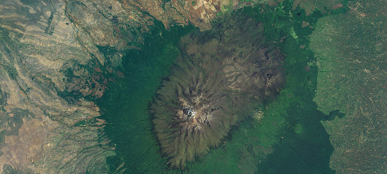
Image credit: Mount Kenya, viewed from space, by Landsat7 satellite (NASA), public domain
 Want to discuss myths about carbon? Join our fourth rangeland myths online conversation of 2026, on the myth of ‘carbon is carbon’, on Thursday, 23 April from 11:00 am – 12:30 pm (UK time).
Our speakers are Saverio Krätli, Ruan de Wet and Meenal Tatpati, and the discussion will be co-chaired by Amber Huff and Charis Enns.
We warmly invite anyone with an interest in rangelands, pastoralism and myths about them, to join, share your stories and rethink how we ‘see’ rangelands and pastoralism.
Read more
The REPAiR Project blog brings diverse views from our project team and collaborators into conversation around key themes and ideas.